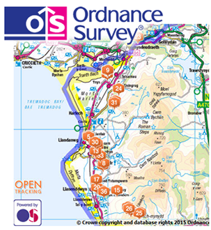
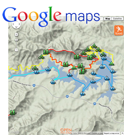
This is the point where we try to make your life as easy as possible. All of the trackers are displayed on a Google Map or on an Ordnance Survey Map (if available). You can simply link to a map hosted on our servers. The map is fully mobile compatible.
We are also able to upload your own KML route file, which overlays the map, showing people looking in from the outside the route of the course if you have one. When the event is on, you can click a participant’s name and look at the route they have decided to take or ensure they are taking the correct route. By clicking on a participant’s name you can also view the time they were last tracked and the battery level of their tracker. We can also provide a complete history of all trackers at the end of the event (.gpx file).
You can choose to share the web link to the map to spectators or keep it private to use as an organisational tool. In order to maximise the spectator return on the tracking we suggest sharing the link to the event tracking website two weeks before the event.